 Esri, Maxar, Earthstar Geographics
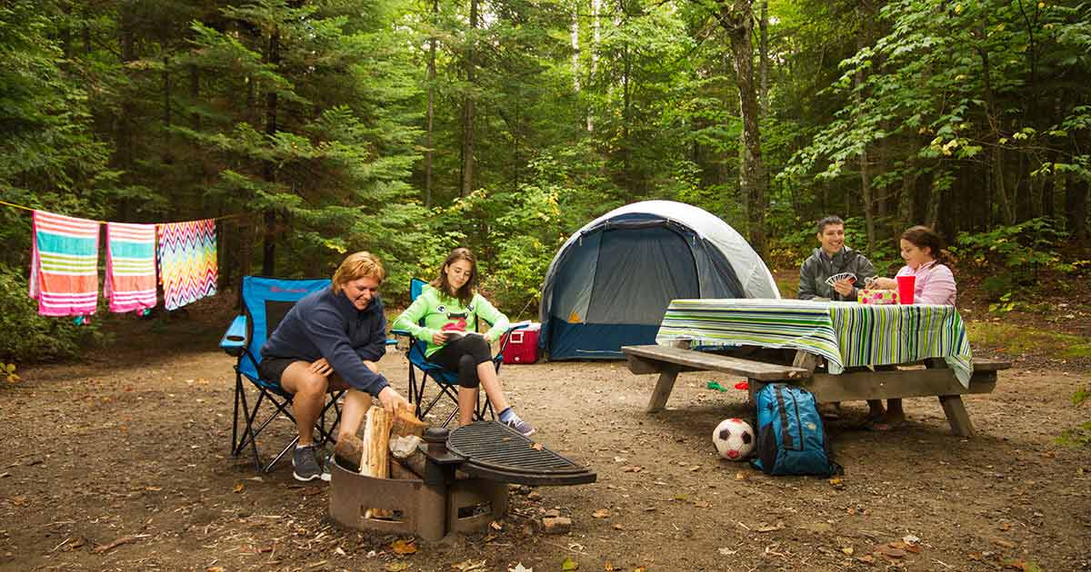 Photo: La Mauricie - Mistagance · area photo
La Mauricie - Mistagance
Parks Canada inside La Mauricie National Parkwhat to expect
La Mauricie National Park invites you to enjoy an experience in one of the most beautiful natural sites in Canada. In summer, the site offers several activities such as hiking and cycling in exceptional settings. The numerous beaches and lakes will allow you to practice swimming and non motorized nautical sports such as canoeing, kayaking and paddle boarding to enjoy nature in absolute tranquility. From the first snowfall, come and discover our many winter hiking trails dotted with breathtaking panoramas. Starting in mid-December, its 80 km of cross-country ski trails will allow you to fully enjoy the present moment and connect with all the magnificence of this protected nature.
Description: Parks Canada
the basics
find more: campgrounds with showers near here →
the campsites
things to do nearby
Within 5 km — trails, viewpoints, beaches, boat launches you can reach without packing up camp.
- Lac de la Tourbière
- Lac à Sam
- Water cascade lookout
- Water cascade lookout
- Lac Mudge
- MTB Parc Recreoforestier
- Parc Récréoforestier
- Parc Récréoforestier
Plus 12 user-tagged viewpoints, 9 user-tagged lakes, 2 user-tagged boat launches, 1 user-tagged beach on OpenStreetMap — visible as pins on the map below.
what's around
La Mauricie - Mistagance plus 8 named places to see and do nearby — trails, beaches, viewpoints, water, and services.
water + services
2 user-tagged water sources, 2 user-tagged dump stations on OpenStreetMap.
what to know
Updated each morning from provincial parks and Environment Canada.
other campgrounds nearby
Other places to stay within 25 km.
- La Mauricie - La Clairière
- Lac Wapizagonke - 1
- Lac Wapizagonke - 2
- Lac Wapizagonke - 3
- Lac Wapizagonke - 4
- Lac Wapizagonke - 5
- Camping La Mauricie National Park of Canada
- Lac Wapizagonke - 6
Plus 6 user-tagged dispersed sites on OpenStreetMap — often genuine wild-pitches; check access rights before relying on one.
keep an eye on La Mauricie - Mistagance
Every Thursday we send the weekend list: which campgrounds still have sites for the coming weekend, plus fire bans and new conditions. We’ll tag you to this park so its alerts reach you first as they roll out.
One email. Unsubscribe anytime. We don’t share addresses. — [email protected]