 Photo: Highway 41 Group Use, Cypress Hills Provincial Park
 Highway 41 Group Use, Cypress Hills Provincial Park
Alberta Parks inside Cypress Hills Provincial Parkwhat to expect
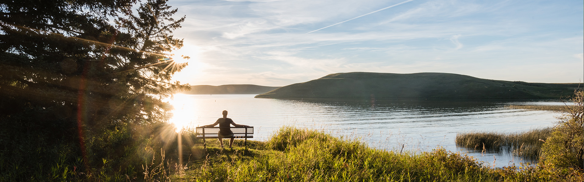
Bypassed by retreating glaciers during the last Ice Age, the Cypress Hills are the highest point between the Rocky Mountains and Labrador. First-time visitors are surprised to find lodgepole pine forests and rugged mountain-like terrain here. The Cypress Hills are the prairie's oasis - cooler in the hot summer and warmer in the cold winter. More orchids grow in these hills than anywhere else on the prairies. Over 220 bird species, 47 mammal species, and several species of reptiles and amphibians are found here. The natural environment makes the Cypress Hills a wild and wonderful place!
Description: Alberta Parks
the basics
find more: campgrounds with beaches near here →
the campsites
things to do here
Activities you can do at Highway 41 Group Use, Cypress Hills Provincial Park.
things to do nearby
Within 5 km — trails, viewpoints, beaches, boat launches you can reach without packing up camp.
- Elkwater Lake
Plus 3 user-tagged viewpoints, 2 user-tagged beaches, 1 user-tagged boat launch on OpenStreetMap — visible as pins on the map below.
what's around
Highway 41 Group Use, Cypress Hills Provincial Park plus 1 named place to see and do nearby — trails, beaches, viewpoints, water, and services.
water + services
- Nearest dump station
what to know
Updated each morning from provincial parks and Environment Canada.
recent reports
This page told you what we know — tell the next camper what you saw. One tap, no account needed.
other campgrounds nearby
Other places to stay within 25 km.
- Cypress Hills Main Group Use, Cypress Hills Provincial Park
- Camp Apistotoke
- Aspen Ridge Hut
- Elkwater Golf Course Campground
- Lodgepole Campground, Cypress Hills Provincial Park
- Ferguson Hill Campground, Cypress Hills Provincial Park
- Cypress Hills Prov Park Battle Creek
- Elkwater Campground, Cypress Hills Provincial Park
Plus 2 user-tagged dispersed sites on OpenStreetMap — often genuine wild-pitches; check access rights before relying on one.
keep an eye on Highway 41 Group Use, Cypress Hills Provincial Park
Every Thursday we send the weekend list: which campgrounds still have sites for the coming weekend, plus fire bans and new conditions. We’ll tag you to this park so its alerts reach you first as they roll out.
One email. Unsubscribe anytime. We don’t share addresses. — [email protected]