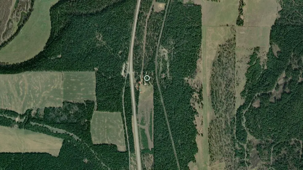
 Esri, Maxar, Earthstar Geographics
 Photo: Cariboo Place Campsite
Cariboo Place Campsite
Public campground British Columbia
the basics
Hookups & power
Full hookupsWater hookupSewer hookupDump station
At the campground
Drinking waterLaundryCamp store
find more: campgrounds with showers near here →
the campsites
Power at sites
up to 30A
Toilets
flush toilets
Showers
yes
things to do nearby
Within 5 km — trails, viewpoints, beaches, boat launches you can reach without packing up camp.
- Blue Lake
what's around
Cariboo Place Campsite plus 1 named place to see and do nearby — trails, beaches, viewpoints, water, and services.
what to know
Updated each morning from provincial parks and Environment Canada.
Partial Prohibition in effect
Campfire restrictions were in effect for this area (Cariboo area) as of Oct 2, 2026. Fire status changes fast — confirm the current restriction on the official bulletin before you travel. Official fire bulletin →
Road closure reported ~11.9 km away
DriveBC reports on Other Roads (as of 2026-08-25): Landslide at Kersley-Dale Landing Road, 25km South of Quesnel and 500m from Highway 97 intersection. Closed. Last update: August 25th, 2026 at 3:09pm PDT. Next update: April 21st, 2027 at 3:00pm MST. A temporary Single L This may or may not affect your route in — check DriveBC before you drive out. DriveBC live map →
recent reports
This page told you what we know — tell the next camper what you saw. One tap, no account needed.
keep an eye on Cariboo Place Campsite
Every Thursday we send the weekend list: which campgrounds still have sites for the coming weekend, plus fire bans and new conditions. We’ll tag you to this park so its alerts reach you first as they roll out.
One email. Unsubscribe anytime. We don’t share addresses. — [email protected]